How big is Malawi?


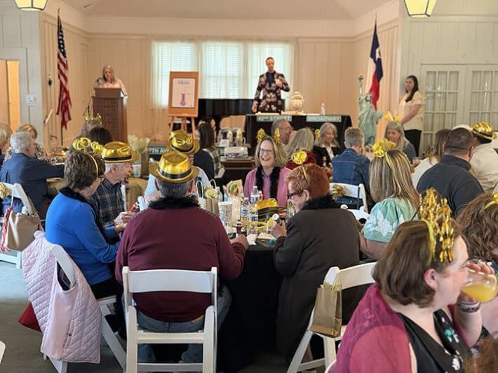
A recent bingo event held by Orant Charities US brought people together for fun, and also ended up doing so much more. With every number called, hope was also growing.
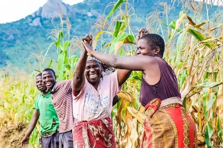
As the rainy season unfolds in the communities we serve, the environment transforms and so does the demand for healthcare services. While the rains nourish crops and sustain livelihoods, they also bring increased health risks and operational challenges for our healthcare program.
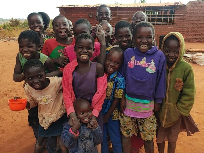
In rural Malawi, Christmas is not defined by glittering shopping malls or towering Christmas trees. There is no snow, no lights in the streets, and no busy stores packed with last-minute shoppers. But it still carries a warmth, a heartbeat, and a sense of togetherness that feels truly magical.